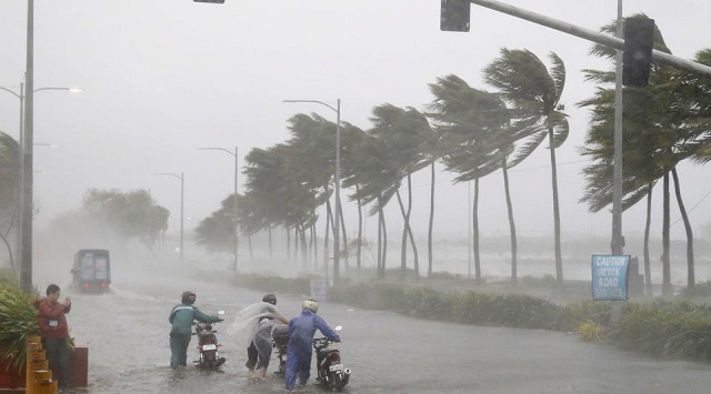
Bhubaneswar: The cyclonic storm which is likely to be formed Bay of Bengal is likely to transform into a severe cyclonic storm, informed IMD DG Dr. Mrutyunjay Mohapatra.
A low pressure area is likely to form over the eastcentral Bay of Bengal and adjoining north Andaman Sea during next 24 hours under influnece of the cyclonic circulation over central Andaman Sea, as predicted by India Meteorological Department (IMD).
It is very likely to move west-northwestwards and intensify into a depression by 22nd October morning and into a cyclonic storm by 23rd October, 2024 over Eastcentral Bay of Bengal. Thereafter, it is very likely to move northwestwards and reach northwest Bay of Bengal off Odisha-West Bengal coasts by 24th October morning.
When the cyclone will intensify into Cyclonic storm on October 23, and when it will reach northwest Bay of Bengal off the Odisha-West Bengal coasts, the wind speed may reach upto 100-120 kmph, informed IMD DG Dr. Mrutyunjay Mohapatra.
Odisha will experience heavy rainfall in the coastal region from October 23 and some places will experience heavy to heavy rainfall and the rainfall activity will be maximum on October 24 and 25 in Balasore, Bhadrak, Kendrapara, Cuttack, Jagatsinghpur, Puri, Khordha, Ganjam and Gajapati.
The fishermen are advised not to venture into the sea till October 25 along the Odisha, Andhra Pradesh and West Bengal coast.
