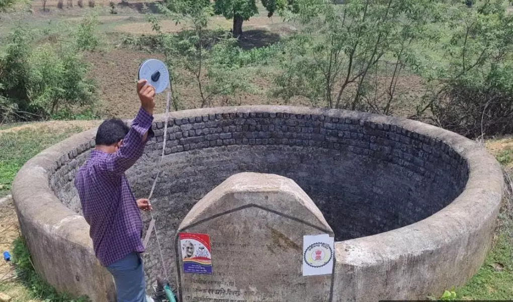
Raigarh. As per the instructions of the government, pre-monsoon water level measurement in the wells constructed in 07 development blocks under Mahatma Gandhi NREGA in Raigarh district is being done by measuring the water levels of open wells in each village of all gram panchayats and actual data is being uploaded till the pre-monsoon 2025 period. In the district, from May 25, the field officials, technical assistants, barefoot technicians, employment assistants are measuring the water level of the wells of each village through the Jaldoot app. Which will be done till June 15, so that the data of pre-monsoon and post-monsoon will be captured. While capturing groundwater data, before measuring the water level of the open well, it has to be ensured that water has not been drawn from the well in the last 10 to 12 hours. The data of open wells of each village / gram panchayat is to be uploaded in a single day.
In each village, sufficient number of water level measuring locations (2-3) have to be selected as representative of the groundwater level of that village. These places will be open wells instead of tube or borewells. Data of groundwater level measurement at these places can be entered through this mobile app in Jaldoot twice a year (before the rainy season and after the rainy season). They will also have to upload geo-tagged photographs through the app on every occasion of water level measurement.
In the year 2024-25, the record of 2123 wells of 742 villages of 469 gram panchayats of the district was uploaded in the Jaldoot app. As per the instructions of the government, effective implementation of water conservation and water enrichment is being ensured through More Village, More Water Mahabhiyan. The purpose of pre-monsoon water level measurement is to measure the minimum water level available in the wells and post-monsoon measurement means to measure the maximum water level. Groundwater data can be used as part of the work plan formulation under Gram Panchayat Development Plan (GPDP) and Mahatma Gandhi NREGA. Apart from this, this data can also be used for research, planning and other purposes. Water level measurement of wells gives information about the amount of groundwater and surface water level in the village.
Other water management works are planned for water conservation, land use and land cover, topography map, knowledge of pre-post depletion in groundwater level and assessment of water extraction to maintain the maximum level of water level. By taking a large number of groundwater level measurements through Panchayati Raj institutions, it will be conducive to take evidence-based decisions related to water, which will help in proper water management and use.