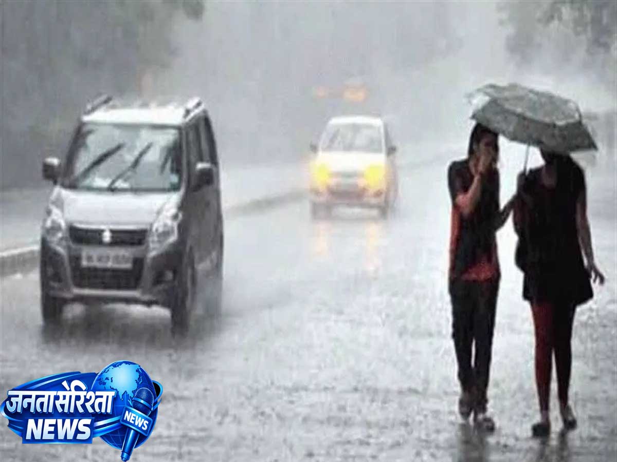
HARYANA: The monsoon has become active once again in Haryana, and the Meteorological Department has issued an orange alert for several districts of the state. According to the India Meteorological Department (IMD), heavy rain, thunderstorms, lightning strikes, and strong winds blowing at speeds of 40 to 60 km/h are likely in many parts of the state today. Due to the active monsoon system, weather conditions have changed across Haryana, as well as in several other states of North and West India.
The Meteorological Department has advised people to avoid unnecessary travel, remain cautious in waterlogged areas, and stay in safe locations during inclement weather. The administration has also instructed relevant departments at the district level to remain on high alert so that any emergency situation can be handled immediately.
Why has the weather changed in Haryana?
The Southwest Monsoon is currently fully active over North India. Rainfall activity has increased in Haryana, Punjab, Delhi-NCR, and surrounding areas due to the northward shift of the monsoon trough and the influence of a low-pressure area. According to meteorologists, high atmospheric moisture levels could lead to moderate to heavy rainfall in several districts.
Which districts are likely to experience heavy rain?
According to the Meteorological Department, heavy rain accompanied by thunderstorms is expected in several districts of the state. These notably include the following areas:
Ambala
Panchkula
Yamunanagar
Kurukshetra
Karnal
Kaithal
Panipat
Sonipat
Rohtak
Jhajjar
Gurugram
Faridabad
Palwal
Rewari
Mahendragarh
Jind
Hisar
Fatehabad
Sirsa
In these districts, there is a possibility of heavy rain in some areas, along with strong winds and lightning strikes.
What does an orange alert mean?
An orange alert issued by the Meteorological Department indicates that weather conditions could become more severe than usual, and people need to remain alert. Conditions expected during the ‘Orange Alert’—
Heavy to very heavy rainfall
Strong winds
Thunderstorms
Risk of lightning strikes
Waterlogging on roads
Disruption to traffic
Inundation in low-lying areas
People are advised to follow the Meteorological Department’s guidelines during this time.
Special focus on districts adjacent to Delhi-NCR
Traffic may be disrupted due to heavy rain in NCR-linked districts such as Gurugram, Faridabad, Palwal, Sonipat, and Jhajjar. Long traffic jams are likely during morning and evening peak hours.
Due to the rain—
Waterlogging on main roads
Accumulation of water in underpasses
Slower vehicular movement
Inconvenience for office commuters
…such conditions may arise.
Relief for farmers
Haryana is an agrarian state, and this rainfall is considered crucial for Kharif season crops.
Crops that will benefit from the rain include—
Paddy (Rice)
Maize
Pearl millet (Bajra)
Cotton
Moong (Green gram)
Vegetables
However, weather experts note that excessive rainfall could lead to waterlogging in fields. Therefore, farmers are advised to ensure proper drainage arrangements in their fields.
Drop in temperature
The maximum temperature is likely to drop by 2 to 5 degrees Celsius due to continuous rainfall.
After the rain—
There will be relief from the heat.
Humidity levels will decrease.
Daytime temperatures will remain close to normal.
Nighttime weather will be relatively pleasant.
However, due to high moisture levels, humidity may persist in some areas.
Risk of lightning strikes
The Meteorological Department has warned that lightning strikes may occur in several areas during thunderstorms.
Special precautions—
Do not stay in open fields.
Avoid standing under trees.
Do not go near mobile towers or electricity poles.
Farmers working in fields should move to a safe location. Exercise caution when using electrical appliances during the rain.
Impact of strong winds
Winds blowing at speeds of 40 to 60 km/h may accompany the rain.
This could lead to—
Weak trees falling.
Damage to power lines.
Hoardings and tin sheds blowing away.
Difficulties for two-wheeler riders.
Risk of waterlogging in urban areas
Even a few hours of heavy rain could cause waterlogging in cities like Gurugram, Faridabad, Karnal, Panipat, Rohtak, and Ambala.
Municipal bodies have been instructed to keep the following ready—
Drain cleaning operations.
Drainage systems.
Pumping stations.
Emergency response teams.
Administration on alert
The district administration and the disaster management department have gone on high alert following the Meteorological Department’s warning.
The administration has—
Activated control rooms.
Kept relief and rescue teams on standby.
Put the electricity department on alert.
Instructed municipal corporations to take measures to prevent waterlogging.
Advisory for travelers
If you are planning to travel in Haryana today, please observe the following precautions—
Check the latest weather updates before setting out.
Drive at a slow speed.
Avoid waterlogged roads.
Postpone unnecessary travel.
Keep your mobile phone fully charged.
Use alternative routes if necessary.
Schools and offices
Normal activities are currently continuing; however, if any district experiences excessive rainfall, the local administration may issue specific directives regarding schools or other institutions as needed.
Forecast for the coming days
According to the Meteorological Department, monsoon activity is likely to persist for the next few days. Intermittent rain, thunderstorms, and strong winds are expected in various parts of Haryana in the coming days.