California: Forest fires are being monitored using satellites

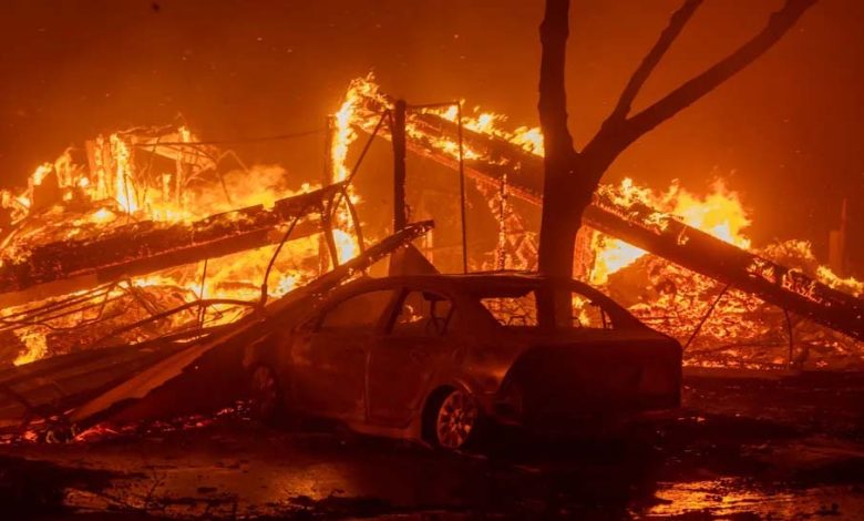
Science: A deadly wildfire continues to burn in parts of Los Angeles in Southern California, and satellites from the National Oceanic and Atmospheric Administration (NOAA) continue to monitor the location of the fire and smoke across the region.
The Palisades fire, which started Tuesday morning (Jan. 7), has grown to more than 3,000 acres in less than 24 hours. Thousands of people have been forced to evacuate their homes and businesses, and more evacuation orders are likely to be issued due to the continued threat of high winds.
According to the Associated Press (AP), the fire was fanned by strong winds and spread to the neighborhood of Pacific Palisades (located in western Los Angeles).
Community leaders, firefighters and weather forecasters are provided with vital information from satellites in space, which have instruments that can constantly photograph and monitor fires and associated smoke plumes.
NOAA has two different types of satellites to track wildfires; The Geostationary Operational Environmental Satellite (GOES) and the Joint Polar Satellite System (JPSS).
Both satellites are equipped with next-generation instruments to observe our planet, but the difference is that JPSS orbits Earth in a polar, non-geosynchronous orbit 512 miles (824 kilometers) above us, while the GOES satellites orbit 22,236 miles (35,786 kilometers) above the same point on Earth (known as a geosynchronous orbit).
By using different filters and spectral bands on the instruments on both satellites, powerful images can be created to show the growth and movement of fires and smoke in real time.


