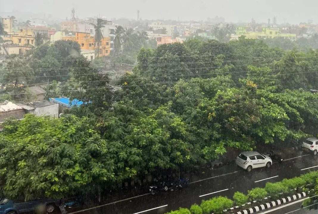
Bhubaneswar: The India Meteorological Department (IMD) has confirmed that the low-pressure area formed over the northwest Bay of Bengal has intensified into a ‘deep depression’. According to the weather department, this system is likely to trigger widespread heavy to very heavy rainfall, strong winds, and thunderstorms across several parts of Odisha on Monday. The administration has heightened vigilance in coastal and low-lying areas and urged people to avoid venturing out of their homes unnecessarily.
According to the IMD bulletin issued on Monday morning, the deep depression was centered at 5:30 AM over the northwest Bay of Bengal and the adjoining coastal areas of West Bengal and north Odisha. The department stated that the weather system was located approximately 120 km east-southeast of Balasore, Odisha, and had been moving northward at a very slow pace of about 3 kmph over the past six hours.
Meteorologists explain that the intensification of a depression into a deep depression signifies increased intensity, raising the likelihood of stronger winds and heavier rainfall. However, whether this system will evolve into a cyclonic storm will be assessed based on its subsequent movement and prevailing sea conditions. The weather department is currently monitoring the situation closely.
The IMD has forecast that, in addition to coastal districts, several interior regions of Odisha could also experience heavy rainfall due to this system. The possibility of extremely heavy rainfall in isolated areas cannot be ruled out. Concerns have also been raised regarding potential waterlogging in low-lying areas, the swelling of small rivers and streams, and disruptions to transportation caused by continuous rain.
The weather department has advised fishermen to exercise extreme caution. Given the likelihood of rough to very rough sea conditions in the Bay of Bengal, they have been warned against venturing into the sea until further notice. Fishermen currently at sea have been advised to return to the safety of the shore as soon as possible. High waves accompanied by strong winds are also expected in coastal areas.
In anticipation of the potentially adverse weather, the state administration has activated its disaster management mechanism. Teams from the district administration, fire department, National Disaster Response Force (NDRF), and Odisha Disaster Rapid Action Force (ODRAF) have been instructed to remain alert in vulnerable areas. Close watch is being kept on residents of low-lying areas, and preparations have been made to relocate them to safer locations if necessary.
Given the likelihood of heavy rainfall, the administration has urged people to stay away from rivers, drains, and waterlogged areas. People have also been advised to avoid open fields, areas under trees, and the vicinity of water bodies due to the risk of lightning strikes. Farmers have been advised to plan their agricultural activities keeping the weather conditions in mind and to take necessary steps to protect their crops.
Experts state that the formation of such low-pressure areas in the Bay of Bengal during the monsoon season is a common phenomenon. Often, these systems intensify into depressions, deep depressions, or cyclonic storms. Their impact is not limited to coastal regions; they can also trigger heavy rainfall in inland states. This is why the Meteorological Department continuously monitors these systems and issues timely warnings.
The Meteorological Department has also indicated that as the deep depression moves forward, rainfall activity may increase in parts of West Bengal, Jharkhand, and Chhattisgarh. However, the most significant impact is currently expected in the coastal and adjacent districts of Odisha. Necessary adjustments to the forecast may be made over the next 24 hours depending on the trajectory and intensity of the weather system.
The transport department and local administration are also keeping a close watch on the situation. Road traffic is likely to be disrupted due to continuous rain and strong winds. Issues such as uprooted trees, power supply interruptions, and waterlogging in urban areas may also arise in some regions. The administration has instructed all relevant departments to remain prepared for immediate relief and rescue operations.
Weather experts advise citizens to rely solely on official weather bulletins and warnings issued by the India Meteorological Department and the state government, rather than paying heed to rumors. Taking timely precautions can significantly minimize potential damage.
Currently, people across Odisha are keeping a close watch on the changing weather conditions. The administration remains fully alert to the impact of the deep depression, and necessary measures will be taken in the coming hours based on the evolving weather situation. Experts believe that if the system intensifies further, the severity of rainfall and the impact of strong winds could also increase; therefore, the next 24 to 48 hours are considered critical for the state.