Telangana to make encroachment data public through satellite imagery
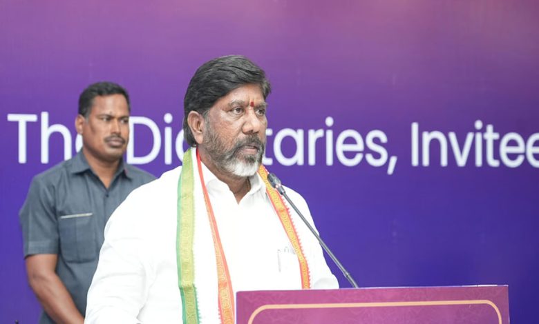
HYDERABAD: Deputy Chief Minister Mallu Bhatti Vikramarka on Saturday said that the state government will put information pertaining to encroachment of full tank level (FTL) or buffer zones of water bodies with evidence in the form of satellite imagery gathered through Remote Sensing Centre in public domain.
Speaking to the media in Delhi, Vikramarka said that the Hyderabad Disaster Response and Assets Monitoring and Protection (HYDRAA) was set up to protect lakes and public properties, and its actions are being welcomed by the people. He was responding to a question on demolition of N-Convention here in the city.
The deputy chief minister said that HYDRAA was primarily focused on the illegal constructions in the FTL of water bodies. Expressing concerns over illegal constructions, he said that the Telangana capital was full of lakes and rocks and environmentalists have been fighting to protect these gifts of nature. He said HYDRAA was set with these objectives and that it was the responsibility of the government to protect public assets.